Q&A: Christof Hellmis, vice president strategic programs at HERE
Add bookmark
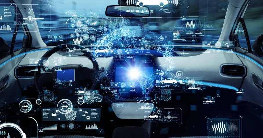
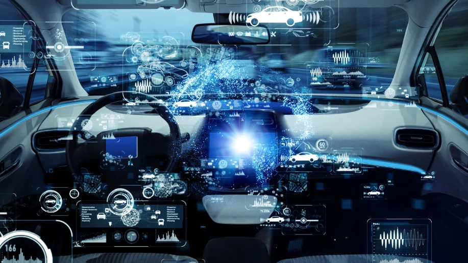
As the automotive industry and the public look forward to their first ride in a self-driving car, the technologies needed for full autonomy are already being implemented today.
Mapping is an often-overlooked but critical element in the development of automated and autonomous driving.
An expert in the field is Christof Hellmis, VP of strategic programs at HERE, who spoke at the recent FirstTuesday meetup, hosted by MHPLab in Berlin, on the subject of ‘ADAS: tomorrow's tech in today's cars.’
Where do you draw the line between Advanced Driver Assistance Systems (ADAS) and Autonomous Driving (AD)? What is the concrete difference between Level 2/3 and Level 4/5 autonomy?
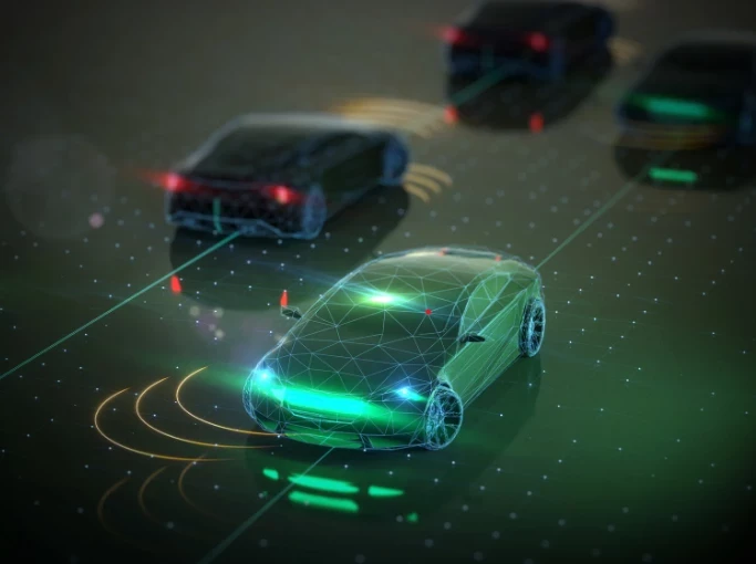
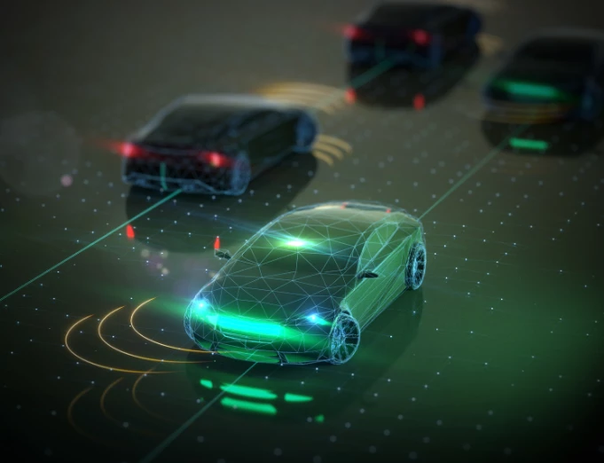
A key difference between these levels is the role of the driver. With Level 4/5, the driver becomes essentially a passenger, while Level 2/3 still requires the driver to control the vehicle. At HERE, we currently support various ADAS scenarios with our products. Our map data can power an electronic horizon. And our dynamic services, including Hazard Warnings and Road Signs, support ADAS systems such as predictive cruise control.
For highly automated/assisted driving, we are developing a novel kind of map, the HD Live Map, which allows the vehicle to situate itself with a very high level of precision and do lane-level exact path planning. We do see continuous progress in both areas, and we’re continually updating our products and our maps to meet these needs.
What do you see as the contribution of mapping to the development of fully autonomous vehicles?
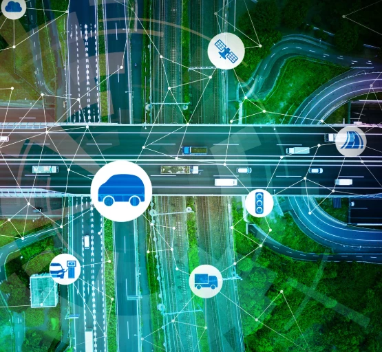
We believe that highly precise and up-to-date HD maps are a critical and necessary component for automated and autonomous driving. In order to keep individual maps up to date and provide precise and accurate information about the road ahead, the industry needs to establish data loops.
Through these data loops, information from vehicle sensors can be used to analyze changes and modify a map accordingly. In an ideal world, the map will be able to heal itself in the vehicle’s infotainment system using sensor data. The data loops require safe and secure data connection, data processing and analytics and map-making intelligence.
We're seeing exponentially more investment in ADAS and AD technology coming from the US and China than there is in Europe.
Do you think this lag is due to risk aversion? Or are German OEMs simply too successful and dominant for it to be in their interest to move quickly to Level 4/5?
Traditional OEMs are very good at developing high-quality products that are economically sustainable. This requires a great level of diligence and attention to detail. New entrants do not have such a heritage; they can and need to operate at a faster pace – and sometimes at a higher risk – to claim a space in the competitive landscape.
However, this race is not a sprint, but a marathon. Developing a service is only one side of the coin. Being able to operate a service over the lifecycle at favorable economics is the true key to success.
How can we accelerate the development towards full autonomy in Germany then?
One way to accelerate the development is to closely cooperate with other industry players on key autonomous-enablers that every player will need, but no one has the ability to scale alone. Mapping and geo-intelligence are driven by scale. Collaboration across the industry can accelerate scaling and creates benefits for all participants.
For this purpose, we have created our Open Location Platform (OLP), which also includes a data marketplace where all players can exchange data and create highly customized products by leveraging the scale of the whole location ecosystem.
You mentioned HD maps earlier. What exact role do they play in the precision of driver assistance systems?
High-definition maps aim to provide accurate, precise ground-truth information to the vehicle. This makes a driver assistance system more predictive, and thus will allow the vehicle to take precautionary measures and actions. An example is the predictive cruise control system; with accurate and up-to-date speed limit information, the maps help to smoothly adjust the vehicle speed before the car crosses the line of the actual speed limit ahead. This is already state-of-the-art.
Democratizing Sensor and Map Data
With mapping data being sourced from different car manufacturers who use different sensors from different suppliers of varying quality standards.
How can the accuracy of maps be validated in real time on the basis of fleet data?
That is the art of map making. Our business is to interpret and integrate various sources of data into a coherent data service with quality Service Level Agreements that can be used by many different OEM. Building one map from a single source is easy. But unfortunately, this is not the reality. There will always be one vehicle that will detect a real-world change first, and then, depending on the change, different ways to validate the change will need to be undertaken before a correction can be published.
The data generated from sensors onboard modern vehicles can be used to warn other cars on the road about traffic flows or possible dangers. The faster that can happen, the more efficient and safer our roads will become. Currently, vehicle sensor data exists in multiple different formats across automakers.
That's why we initiated SENSORIS, an international collaborative body of automotive and mapping companies. SENSORIS enables a single data exchange format that automotive companies can use to fulfill the use cases of data suppliers and data consumers. This helps to solve the problem of data sharing.
How are the large quantities of sensor data collected by vehicles processed for the accuracy of maps?
Is the data sent OTA back to HERE, processed, and sent back? Or is it processed within the vehicle itself?
It is obvious that sending all relevant sensor data to the cloud will not be feasible. We support OEMs with means to detect changes in the vehicle and provide meaningful information back to us. We call these “Maplets”. HERE Maplets are created in the vehicle based on real-time sensor recognitions. The data is buffered for a stretch of the road in the vehicle, allowing for the fusion of multiple recognitions of the same object, same level of post-processing and the elimination of false detections. HERE Maplets are transmitted over the air, potentially passing through an OEM cloud, to the HERE Cloud.
We are also discussing ways to collect data on demand, where necessary. Our own OTA technology, HERE OTA Connect, supports these scenarios. Connected vehicles will not need to send a constant stream of data to the cloud. Instead, they will be asked to collect data only on specific roads or under specific conditions.
What sort of connectivity is required to keep maps up to date?
We believe that 4G is sufficient for most use cases and scenarios. However, 5G promises to support even more cases.
Overall, what technologies and methods do you implement with regard to handling massive amounts of data?
One key method is the ability to provide only the data that is needed. Our HD Live Map service provides smaller partitions of a map that can be consumed on demand. The layered nature also allows updates only to the layers that have changed.
How do you ensure cybersecurity when handling these large amounts of data and updating maps OTA?
We have our own OTA product, HERE OTA Connect, that enables the safe and secure transfer of data, software and firmware. HERE OTA Connect uses Uptane, one of the first comprehensive automotive security frameworks available that is also supported by the U.S Department of Homeland Security and designed specifically for software that runs on connected and autonomous cars.
The road ahead
Considering every mode of transportation for getting people and goods from Point A to Point B, where do you see fully autonomous vehicles first being implemented at a large scale?
Given the complexity of this issue, we will likely first see fully autonomous vehicles in confined environments. This could be either highways, selected areas within a city, on campuses or on enterprise premises. This will be a long journey, and whether we ever see a vehicle that is able to drive everywhere autonomously (like human drivers) remains an interesting challenge to explore.
So how can auto manufacturers manage this transition from a highly automated state in limited scenarios (ADAS) to holistic and all-encompassing fully Autonomous Driving (AD)?
Transitioning to a holistic, all-encompassing fully autonomous solution can best be managed through careful real-world testing and partnerships across the various levels of the value chain. The systems that exist today in limited scenarios, i.e. ADAS, can already provide ample data and insights for developing fully autonomous solutions.
As more cars become connected, the vehicles can provide more insights for the development of safe solutions. In addition, partnerships will be key; the market has already seen many partnerships take shape that will continue to be important in order to progress to a full AD solution. Sharing resources and investments to tackle such a complex problem will help manufacturers transition to this fully autonomous driving state.
Christof Hellmis is vice president heading the Services Strategy and Innovation in the Services Group at HERE. In this position, he focuses on the development of next generation location intelligence services that leverage new technologies like AI/ML, in combination with large scale data.
Christof has a track record of more than 15 years of experience in technology management and product development for mobile, internet and connected car software and services.
Prior to HERE, he was Chief Operating Officer at gate5, a navigation and mapping software company acquired by Nokia in 2006, and nucleus of HERE’s operations in Berlin today.
Previously, he worked as a strategy consultant with the Boston Consulting Group in various European countries. Christof holds a master’s degree in electrical engineering from RWTH Aachen in Germany and a MBA from INSEAD in Fontainebleau, France.